Donegal Town
The Diamond is where the town gathers, a short walk from the bay. Donegal Town stands at the mouth of the River Eske where it meets Donegal Bay.
Ireland's north-west runs on long roads and Atlantic weather: sea cliffs at Slieve League, Gaeltacht villages in the west and Malin Head at the top. Give it days, not hours.
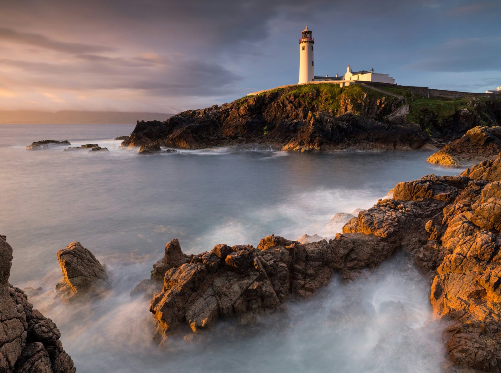
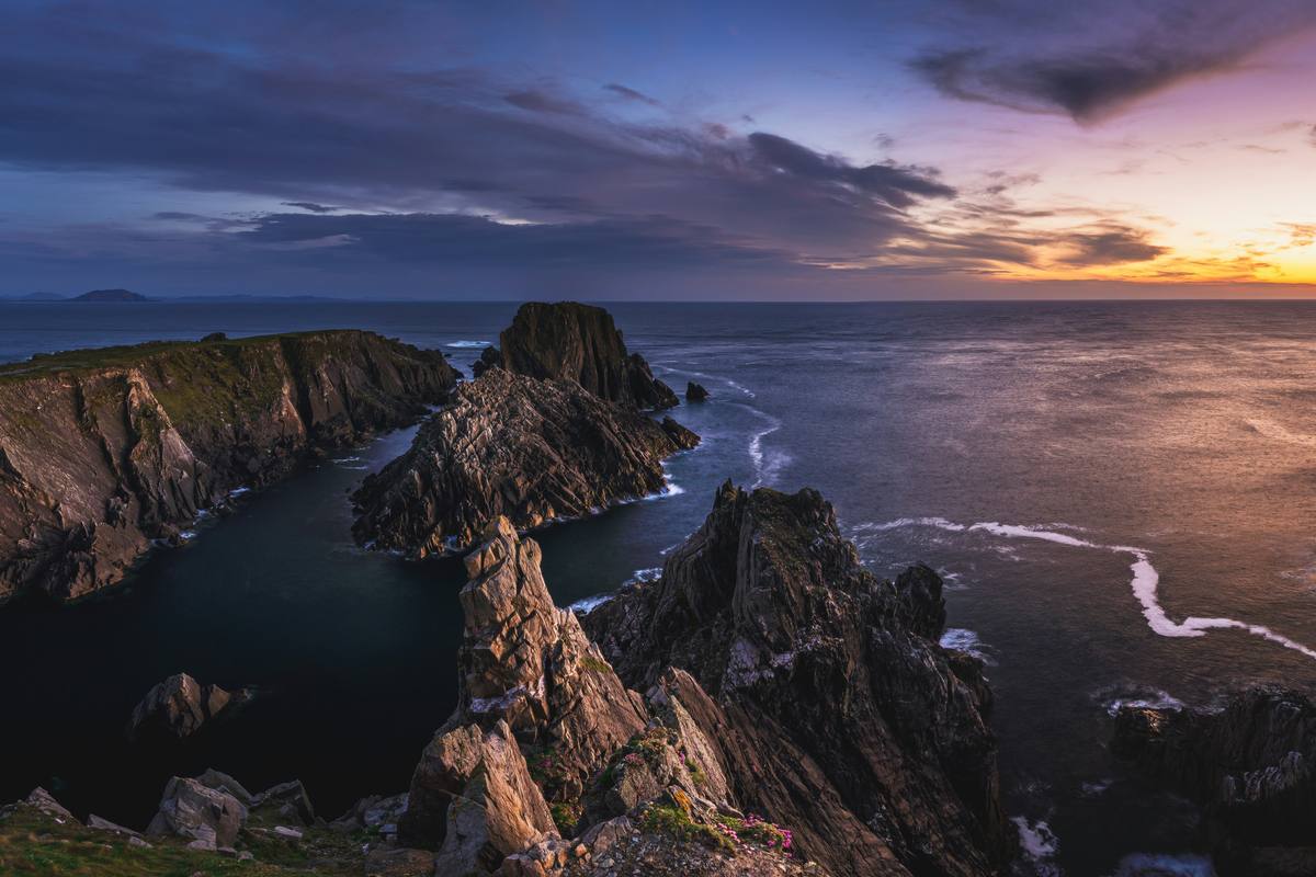
Headlands, strands and offshore islands: the Atlantic cuts deep into Ireland's most northerly county, and the country behind it is rugged. The Wild Atlantic Way begins here, or ends here, running from Malin Head, Ireland's northernmost point, past Fanad Lighthouse to the sea cliffs of Slieve League.
Much of the west of the county is Gaeltacht, where Irish is spoken daily, and the landscape is a patchwork of bog, mountain and small villages. Glenveagh National Park protects a mountain valley and castle in the Derryveagh Mountains, while Donegal town and Letterkenny anchor the south and east. This is a county that needs time. Distances are longer than they look on the map, the roads are part of the pleasure, and basing yourself in two or three places, the Inishowen Peninsula, the west coast and the south, works far better than day-tripping.
Among Europe's highest sea cliffs, rising dramatically above the Atlantic in the southwest of the county.
Ireland's northernmost point, a wild headland of rock, sea views and wartime lookouts.
A mountain national park with a lakeside castle, gardens and golden eagle country.
A working lighthouse on the Fanad Peninsula, regularly open to visitors.
The county's distinctive quartzite peak, the highest of the Derryveagh Mountains.
The Diamond is where the town gathers, a short walk from the bay. Donegal Town stands at the mouth of the River Eske where it meets Donegal Bay.
The town runs up the hill to St Eunan's Cathedral, spire and all, and does the county's everyday business below it. Letterkenny is the largest town in County Donegal, on the River Swilly.
A small town doing a whole county's paperwork from a Georgian courthouse in the Diamond. Lifford, the county town of County Donegal, stands on the River Foyle, opposite Strabane.
Seaside town on Lough Swilly on the Inishowen Peninsula.
Tweed and heritage town in the southwest, known for weaving and music.
May to September gives the best chance of clear cliff views and boat trips. Winter is wild and quiet, dramatic on the coast, but plan for short days and changeable weather.
Donegal has a small regional airport on the west coast. Most visitors drive from Dublin (about three and a half hours) or from Belfast via Derry.
No anchor festival is based here, but the Irish year is full: next up nationally is TradFest (20–24 Jan 2027, Temple Bar, Dublin). See the full events calendar
The walled city on the Foyle is the headline, with the Sperrins behind it and a fine coast at Castlerock and Portstewart. Heaney's home ground around Bellaghy draws its own pilgrims.
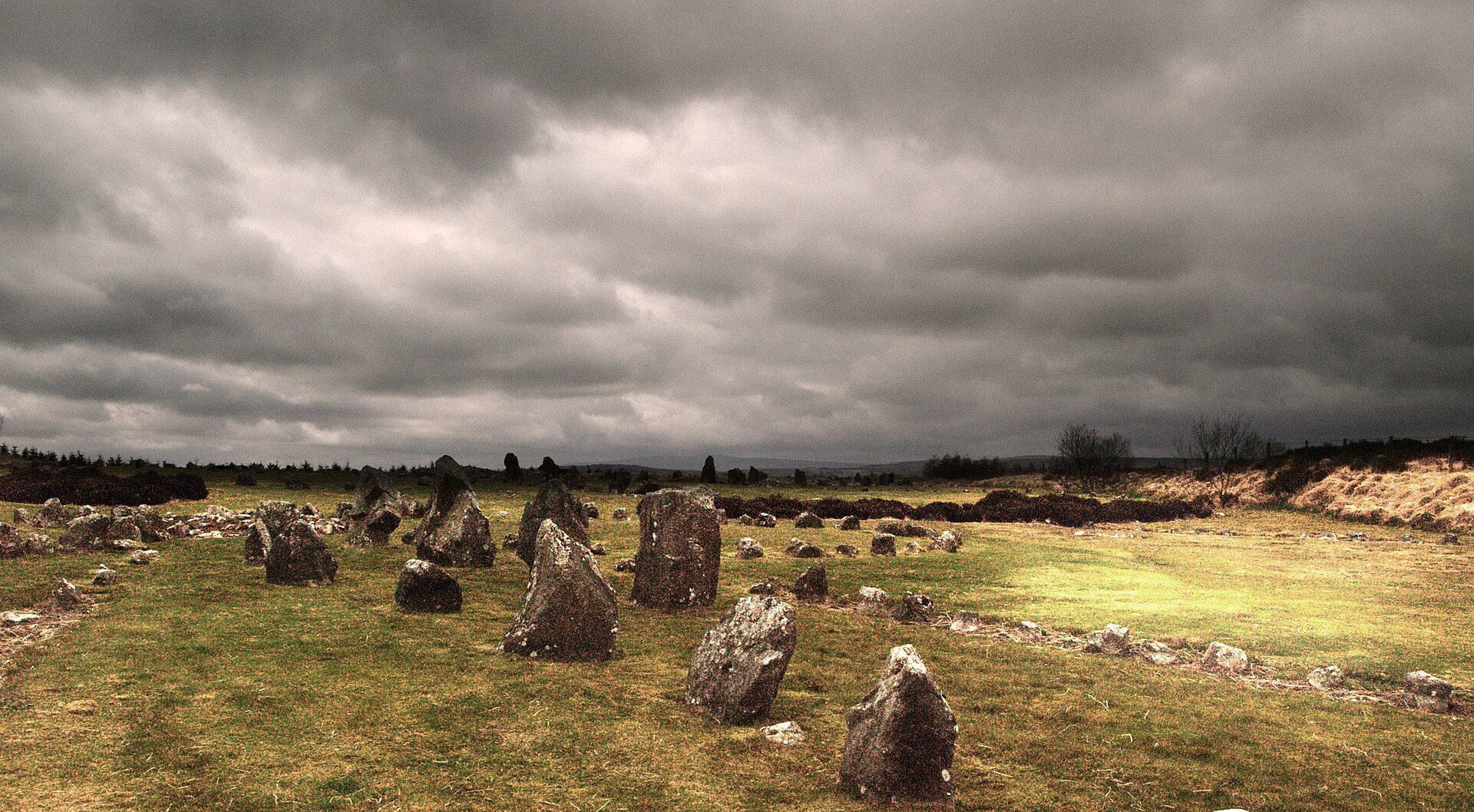
The Sperrins give the walking and the dark skies; the story is emigration, told at the Ulster American Folk Park near Omagh. A county of market towns, linen history and people who left.
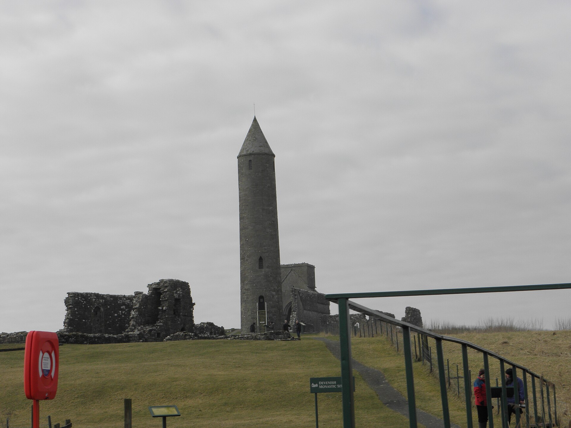
Water is the county: Upper and Lower Lough Erne, more than a hundred islands and an island county town at Enniskillen. Hire a boat and the place makes sense.
Part of Wild Atlantic Way.